T4D Smarter mapping for recovery
Location : Nepal
Problem
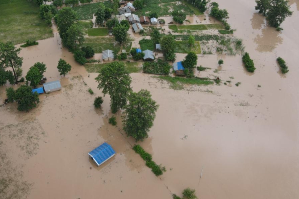
Communities in Nepal’s Mahakali River Basin face repeated floods and landslides, threatening the lives and livelihoods of more than one million people.Post-disaster building damage assessment in Nepal is slow, manual, and fragmented. Current methods rely on building-to-building inspections, paper-based forms, or basic spreadsheets, which are time-consuming and often inaccurate. This results in delayed recovery, inefficient resource allocation, and lack of reliable data for reconstruction planning.
Challenge
The core challenge is that existing AI models and global datasets are not adapted to Nepal’s unique building structures and environments, which limits their accuracy. At the same time, local governments face limited technical and institutional capacity, fragmented workflows, and resource constraints that make it difficult to integrate advanced technologies into daily operations. Without a localized and tailored solution, recovery efforts remain slow and inconsistent, while trust among government, NGOs, and communities is harder to build—delaying progress toward data-driven disaster preparedness and recovery.
Solution
This project introduces hyper-localized GeoAI models to speed up and improve damage assessments. By analyzing drone images of disaster-hit areas together with maps of building footprints, the system can quickly classify whether a building has no damage, minor, major, or complete destruction, providing faster and more reliable damage maps compared to slow, manual inspections.Because the models are trained with data from Nepal itself, they adapt to local building types and environmental conditions, making the results more reliable than global “one-size-fits-all” tools. Combining machine learning with “human-in-the-loop” validation, the solution ensures accuracy, builds local capacity, accelerates response, and supports long-term resilient recovery planning. The system will be designed to integrate into existing disaster management platforms, ensuring it strengthens current systems rather than creating parallel ones.
Impact
- For local governments, the system will mean faster, evidence-based decisions on where to send aid and how to plan reconstruction.
- For families, it will bring clearer recognition of damage, making it easier to access support.
- For NGOs and responders, it will improve coordination and reduce duplication of effort.
- Over the long term, reliable and inclusive damage data will help Nepal build more resilient communities, better prepared for future disasters.
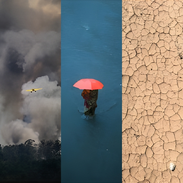
If proven in Nepal, the approach can be adapted for other flood- and earthquake-prone regions worldwide.
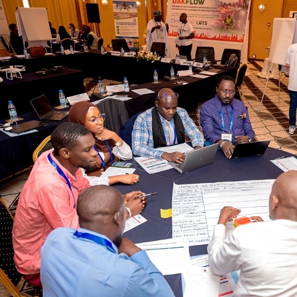
Team members
- Omran Najjar, Project Lead, Humanitarian OpenStreetMap Team (HOT)
- Leen D’hondt, Data and Technology Specialist, Humanitarian OpenStreetMap Team (HOT)
- Uttam Pudasaini, Project Coordinator, NAXA
- Nishon Tandukar, GeoAI Research and Data Specialist, NAXA
- Charlotte Weil, Project Coordinator, IT4R, EPFL
- Dr. Zimin Xia, GeoAI Researcher, VITA Lab, EPFL
- Prof. Alexandre Alahi, Associate Professor, VITA Lab, EPFL
- Dr. Pawan Bhattarai, Assistant Professor, Department of Civil Engineering, Pulchowk Campus, Tribhuvan University

T4D Sustainable tarpaulins for emergency shelter

T4D Computational Design for Resilient Shelters