T4D Participatory GIS Toolkit
An open-source, web GIS based participatory mapping to improve mobility in rural areas.
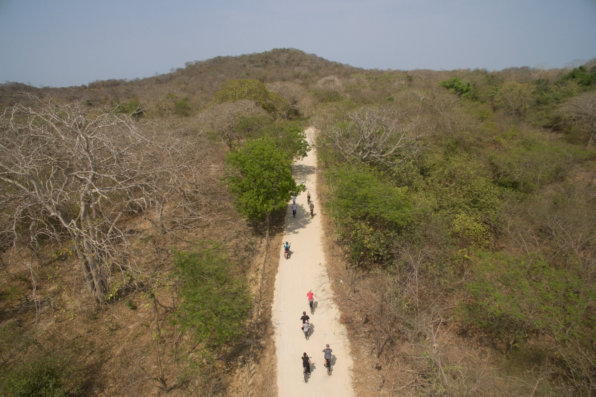
Location : Kenya
Problem
Over 1 billion people in rural communities lack access to reliable transport, making mobility a major driver of vulnerability and exclusion. At the same time, limited data on mobility needs and travel barriers prevents the development of effective, evidence-based transportation solutions.
Challenge
How to design a free, open-source and easy to use geographic information system tool to assess mobility issues with local communities?
Solution
Usafiri is an open-source, web-based PGIS toolkit enabling participatory mapping of rural mobility, allowing communities to map infrastructure, barriers, and hazards to improve access to critical services in underserved areas.
Impact
- Enables evidence-based transport planning through precise, actionable mobility data for rural and urban contexts.
- Strengthens community ownership and decision-making by actively engaging local populations in mapping their mobility needs and barriers.
- Scales globally through an open-source, adaptable toolkit supporting mobility assessments across diverse underserved regions


Gallery
No items found.
Projects managers
No items found.
Publication & Media
More projects

T4D Sustainable tarpaulins for emergency shelter
Transforming agricultural residues into biodegradable polyester for tarpaulins.
Sustainable Development
Completed
Topics

T4D Computational Design for Resilient Shelters
Flood-resistant shelters using sustainable materials to improve housing in flood-prone areas
Sustainable Development
Ongoing
Flood-resilient housing, climate-adaptive shelters, South Sudan, disaster-resilient infrastructure, humanitarian shelter innovation, low-cost resilient construction, locally sourced materials, vernacular construction systems, modular shelter design, resource-efficient building, sustainable construction, climate-resilient development, flood adaptation solutions, community-based design, participatory construction approach, local capacity building, skills development, community resilience, disaster risk reduction, scalable adaptation model
Topics
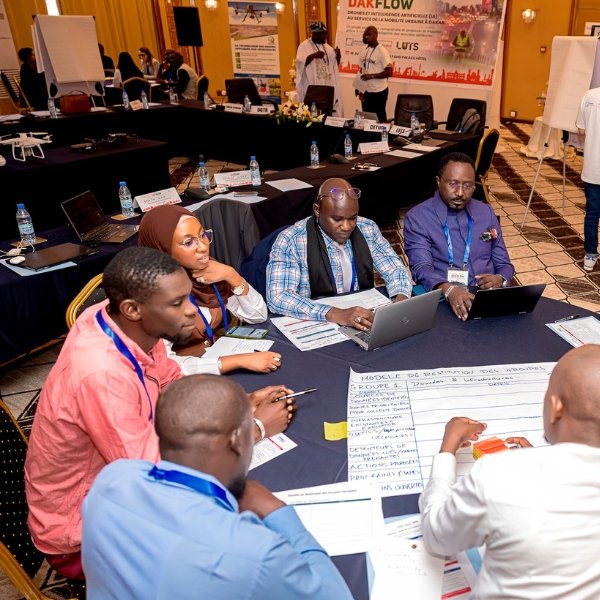
T4D DAKFLOW Drone-Based Traffic Monitoring
Drone and AI-based traffic data for smarter mobility planning in Dakar
Sustainable Development
Ongoing
Urban mobility Dakar, traffic congestion Dakar, sustainable urban mobility Africa, mobility data Senegal, AI mobility analytics, drone traffic monitoring, geospatial mobility data, data-driven urban planning, smart city Dakar, transport planning Senegal, congestion management Africa, multimodal traffic data, urban transport data integration, open mobility data platforms, inclusive urban mobility, road safety data analysis, CO2 emissions reduction cities, air quality urban transport, climate-resilient cities, digital urban infrastructure, smart mobility solutions, Global South urban innovation, evidence-based mobility planning, informal transport systems Africa, capacity building local institutions, SDG 11 sustainable cities, urban mobility innovation Global South
Topics